

Eastern Sierras- Rock Creek to Convict Lake
Weddings/Elopements, Portraits, Events, Business, Real Estate, and Landscapes
.jpg)
As you pass from Inyo County into Mono County, you continue to go up in elevation with the majestic Sierra Nevada Mountains to the west. Along the way there are several viewpoints, attractions, and place to hike and explore. They are great areas for fishing, camping, and even some boating depending on the location. This stretch is a fall favorite.


-
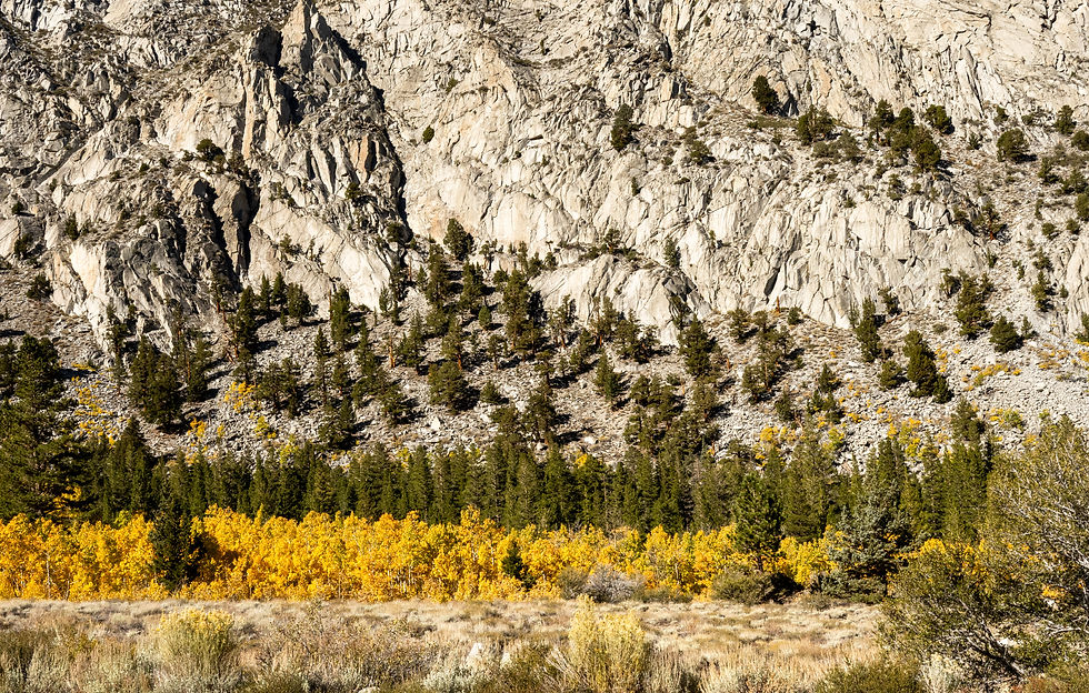
Rock Creek Canyon -No doubt the view south of Rock Creek looking out of Bishop and surrounding areas is worthy of stop for sunrise or sunset. Just north, turn off 395 at the Tom's Place exit (about 13 miles south of Mammoth) onto Rock Creek Road. About 10-miles you will arrive at Rock Creek Lake sitting at just under 10,000 feet making it one of the highest drive-to lakes in the Sierra. It is surrounded by granite peaks, a lakeside campground/beach with reliably spectacular fall color in the aspens lining the canyon. Little Lakes Basin, reached from the Mosquito Flats trailhead at the very end of the road, is a strung-together chain of alpine lakes below jagged 13,000-ft peaks — a genuine backcountry hiking-elopement location.
-
Tom's Place -A 1917 roadhouse/resort at the highway junction, worth a mention for its historic small-town character and easy food/lodging stop.
Rock Creek

Crowley Lake
The town of Crowley Lake is nestled at the base of the Sierra Nevadas. It offers great hiking, boating, jet-skiing, fishing, and more.
-
Crowley Lake – This reservoir on the Owens River is known for open, "big sky" high-desert scenery, dramatic sunsets, and world-class trout fishing. It has less tree cover than Rock Creek.
-
The Crowley Lake Columns - These striking eroded volcanic hoodoo formations along the lake's old shoreline, reached via Owens Gorge Road are a well-known photography subject. Please be aware that the site is fragile and access has been restricted at times to protect the formations from erosion. Check current access/permission before booking a session there.
-
Hilton Creek – Although, most start this moderate hike from Rock Creek Pack Station, climbing over a ridge through whitebark pine and lodgepole forest, there is a quieter, larger effort-required alternate route from Crowley along Hilton Creek to Rock Creek Lake. It begins in aspen groves and is very popular for fall foliage. This is great for couples wanting real solitude in a session or a beautiful backdrop for elopement or bridal pictures.
-
McGee Creek – Just north of Crowley Lake, take the McGee Creek exit to enter a classic Eastern Sierra canyon. There is a well-marked trail, a pack station, campgrounds, and some of the best spring wildflower displays in the region (Indian paintbrush, mule ears, lupine in May/June) alongside strong, exceptional aspen fall color. This is more easily accessible than Rock Creek Lake, and it has more scenic variety than a highway pull-off. You can choose to keep the hike short or head out into the wilderness for high alpine lakes and rugged mountains. (NOTE: A recent fire has affected this area).
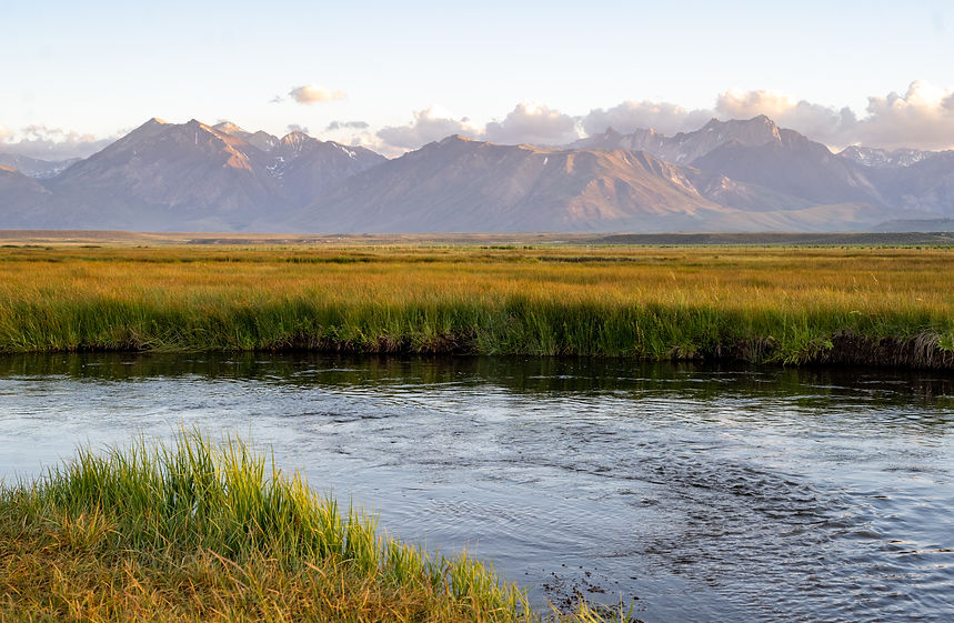
Owen River/Brown's River Campground
This riverside campground off of Benton Crossing Road sits in a wide-open meadow with unobstructed mountain views in every direction. Although there is no shade and open, that openness is exactly what makes it work for big-sky golden-hour portraits without a hike; also sits close to Hot Creek Geologic Site for pairing in a single session.

Hot Creek Geological Site
Hot Creek Geological Site, off of Hot Creek Hatchery Road, has a stunning view of the creek with turquoise mineral pools, often with steam rising as it goes off into the distance towards the Sierra Nevadas. Safety is of utmost importance! Water temps can spike to scalding without warning, and the site has real injury/fatality history. Swimming and all contact with water are strictly prohibited. To avoid the real danger here, photos can be taken from an overlook, not at the water's edge. It is free, has no permit, and easy to access with a short, steep paved trail that leads down to a fenced overlook. Sunrise and sunset are the classic photography windows; winter adds dramatic steam rising against snow. A genuinely otherworldly backdrop.

Benton Crossing Road
The little Green Church, a quirky, charming sits as a marker to turn onto Benton Crossing Road. Many people choose to take their bikes and cycle along this route.
As you drive down Benton Crossing Road, you may find various hot tubs, Brown's Campground, the Crowley Columns, and up and over to Benton. Many people love to have photos of them standing on the center yellow line of the road to capture the road with views of Mt. Morrison.
